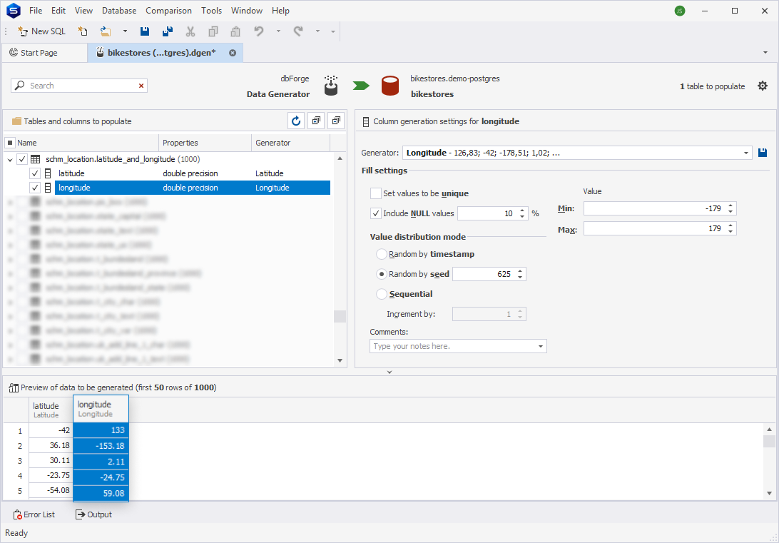
Longtitude generator
The Longtitude generator creates data representing geographical longitude coordinates. Longitude values indicate the position of a point east or west of the Prime Meridian and range from -180.0° to +180.0°:
- Positive values (e.g., 77.0369) represent locations east of the Prime Meridian.
- Negative values (e.g., -122.4194) represent locations west of the Prime Meridian.
This generator is used for populating fields requiring realistic latitude data in applications such as geographic analysis, mapping, and location-based testing.
Generator properties
The table provides key details about the generator, including the short name, sample of the generated data, the supported data types, and whether it is specific to a particular country.
| Short name | Example of generated data | Data type matching | Country-specific |
|---|---|---|---|
| Longitude | 126,83; -42; … | double precision | Default |
Matching rules
The generator can be assigned to a column whose name is ‘Longitude’, regardless of the table name.
Configure additional options
The tool allows you to customize the minimum and maximum values for the Longtitude generator. The default range of longtitude values is from -179 to 179.
Preview of the column data generated by the Longtitude generator